Do you get a visual image of the layout of a place when you read about it? I have a very firm impression in my mind of the ashram in the Wynter Wild books, but I’ve never actually drawn a map. Now that I’m writing flashbacks for book 10 (The Beat Goes On), where we spend some time in the ashram (and – spoiler! – there are present scenes set there, too), I decided I needed a clearer idea of where everything is.
Firstly, to set the scene…
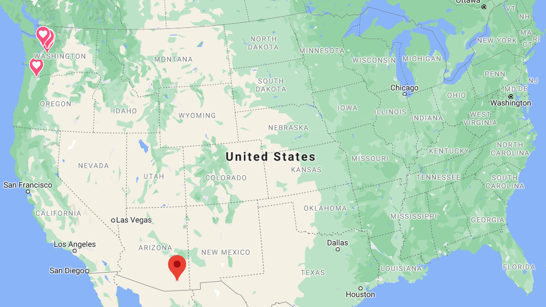
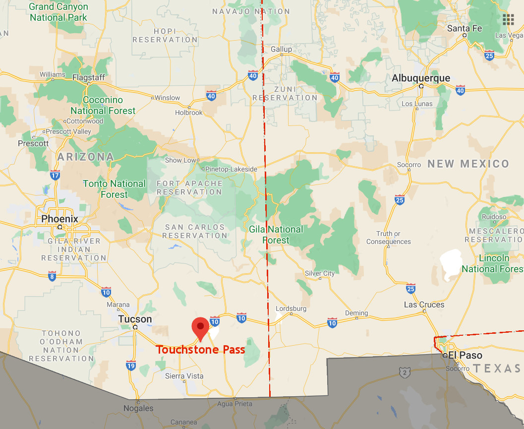
Touchstone Pass, the nearest town to the ashram, is not a real place but its location is approximately Dragoon, AZ, west of the Chirichahua Mountains. Here’s its location pinpointed in the US southwest, near the Mexico border. (All those little lovehearts up the top are the various locations where most of the series takes place.)
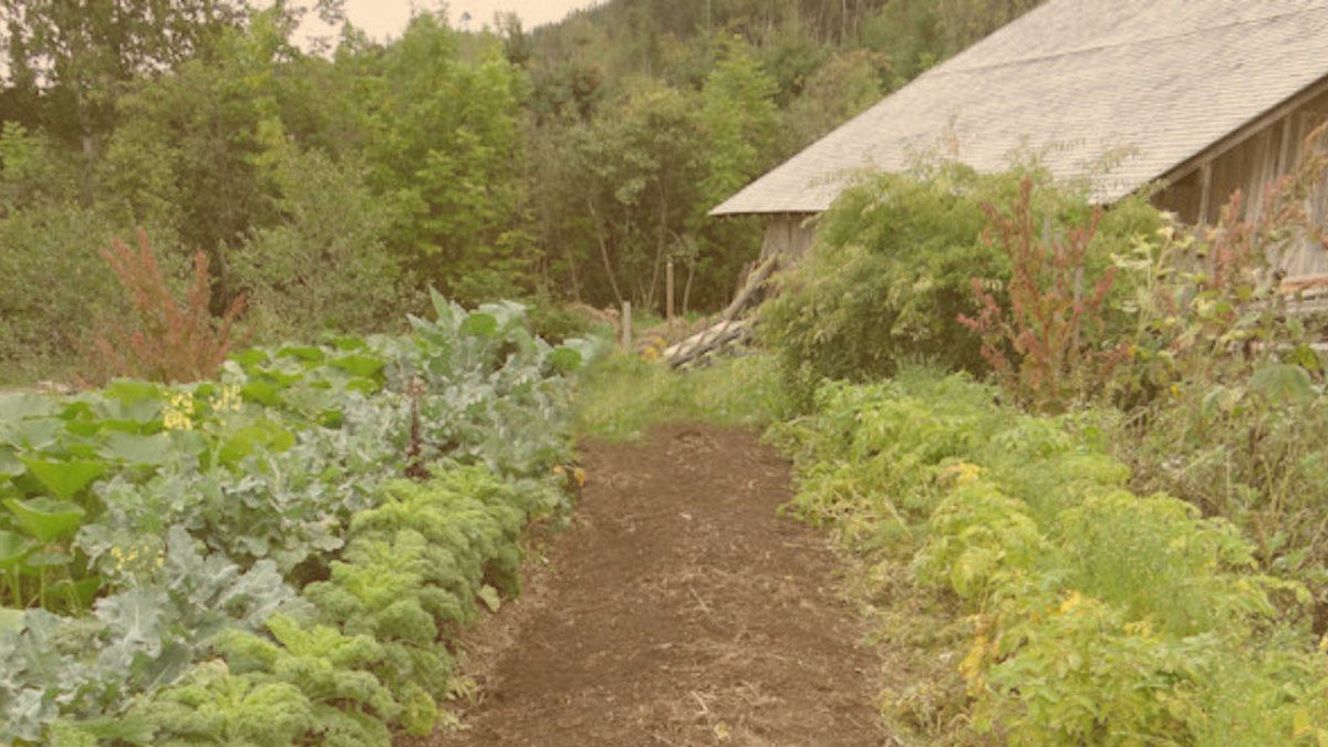
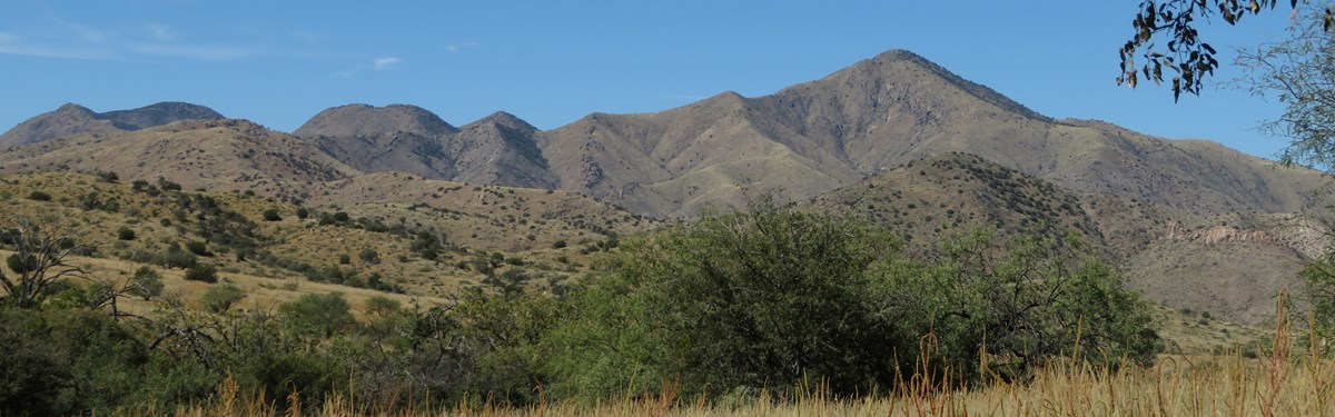
The ashram is a short drive from Touchstone Pass. There are lots of peaks and valleys around here, and the ashram is located in a broad low valley, about 1000ft higher than Tuscon so although the summers are still very hot, the winter nights are cooler with occasional frosts. The landscape is semi-desert grassland and scrub.
Here’s a zoomed-in map of the location, with Tucson (where I lived for 5 years) and then Phoenix to the northwest, and the Grand Canyon up north. Albuquerque is included here – some characters find themselves there in book 10.
My graphic design skills aren’t the best and Indio isn’t around to help me, but below is a map of the ashram with the main features.
This is what things look like when Xay lives there (4-5 years before the events of book 10). The Light owns land beyond the fence, but only 40 acres are fenced off (about 400×400 meters). This map includes the new spa retreat off the main road that is being built around the time Xay leaves.
Caleb and Anita arrive in the parking lot of the retreat in book 4, then later drive around to the old entrance on the other side to investigate the “snowflake”.
Roads and paved areas are light grey, fields are brown striped, desert scrub is the green blotches, and the red blocks in the fence line are gates. Outbuildings are dark blue, and there would of course be many more of these on the farm (as well as more access roads), but I’ve only shown things mentioned in the books. Click to enlarge (100 meters is 110 yards or 330 feet).

Looking at Wynter’s side on the left, the “homestead” was the original large farmhouse on the land, and is used for the non-farming activities at the ashram. The children live here in dorms and classrooms. All the cooking takes place here, so food is taken for each meal through the gate into the dining hall to serve the adults. In the courtyard out the back of the house are the dumpsters from where Wynter first spies the boys, and the rip in the fence is about 50 meters beyond that.
The warehouse is a converted barn, and has a row of small offices built alongside. The rest of this part of the compound is desert scrub and not really used – other than the infamous “hole”.
On the right is the farm, with various crop and vegetable fields (along with greenhouses and all the required other farm stuff, not shown), the temple in the center, and small prefab huts where the adults live. The fence at the top includes the original gate (with nearby garage) through which Wynter and Joy escape in book 1.
A few things already mentioned in earlier books and featured in book 10: the machinery shed where Miss Althea has her accident, the dreaded “hole”, the snowflake and flower symbols that Joy marked on her map, and of course the shed near the top right – it’s in an unused part of the ashram, about 270 meters from the rip in the fence and 170 meters from the boys’ hut, so that’s the distance they have to cross, without being caught, in order to get to and from their secret sanctuary.
Okay, did I forget anything?

The ashram is bigger than I thought!
LikeLike